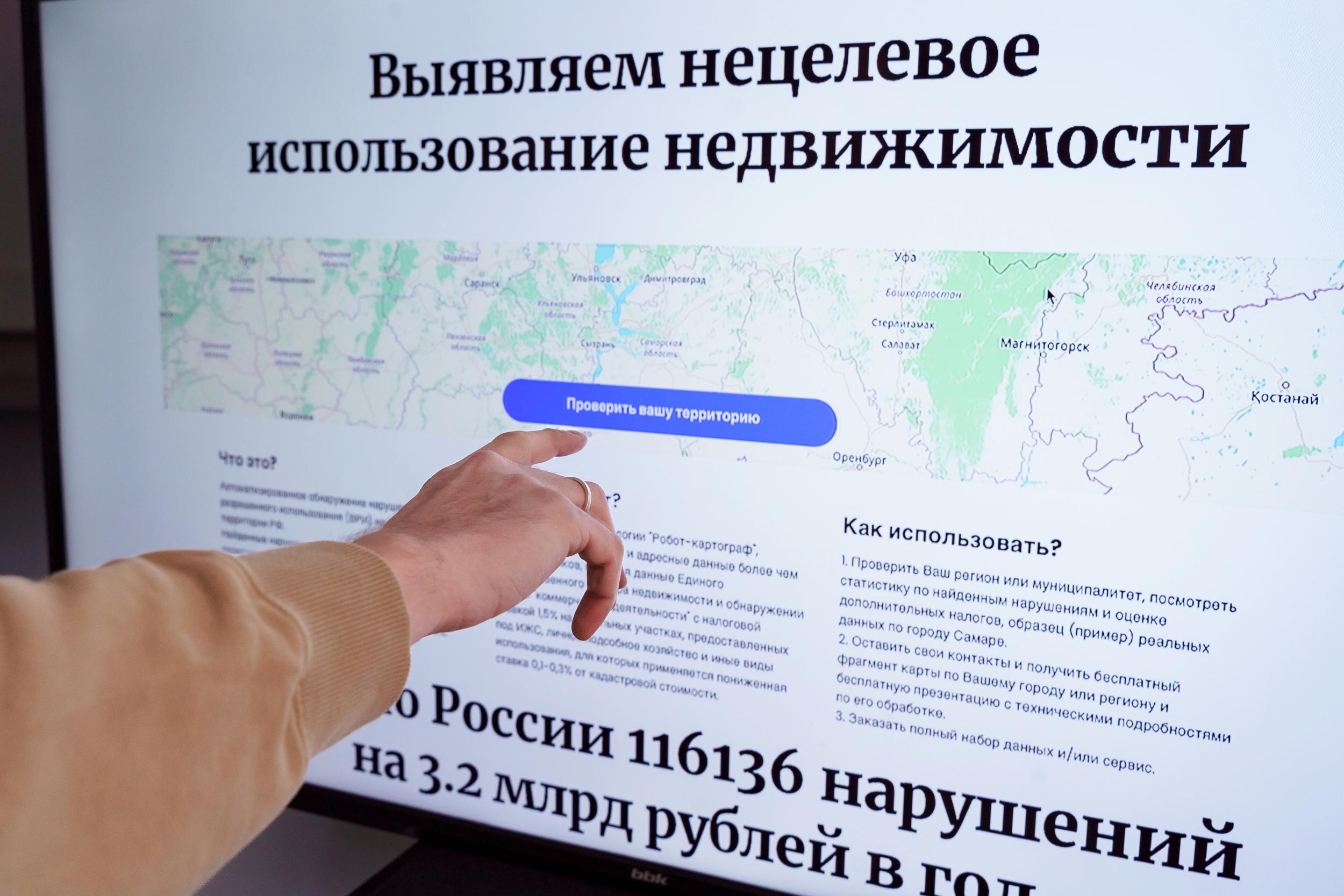
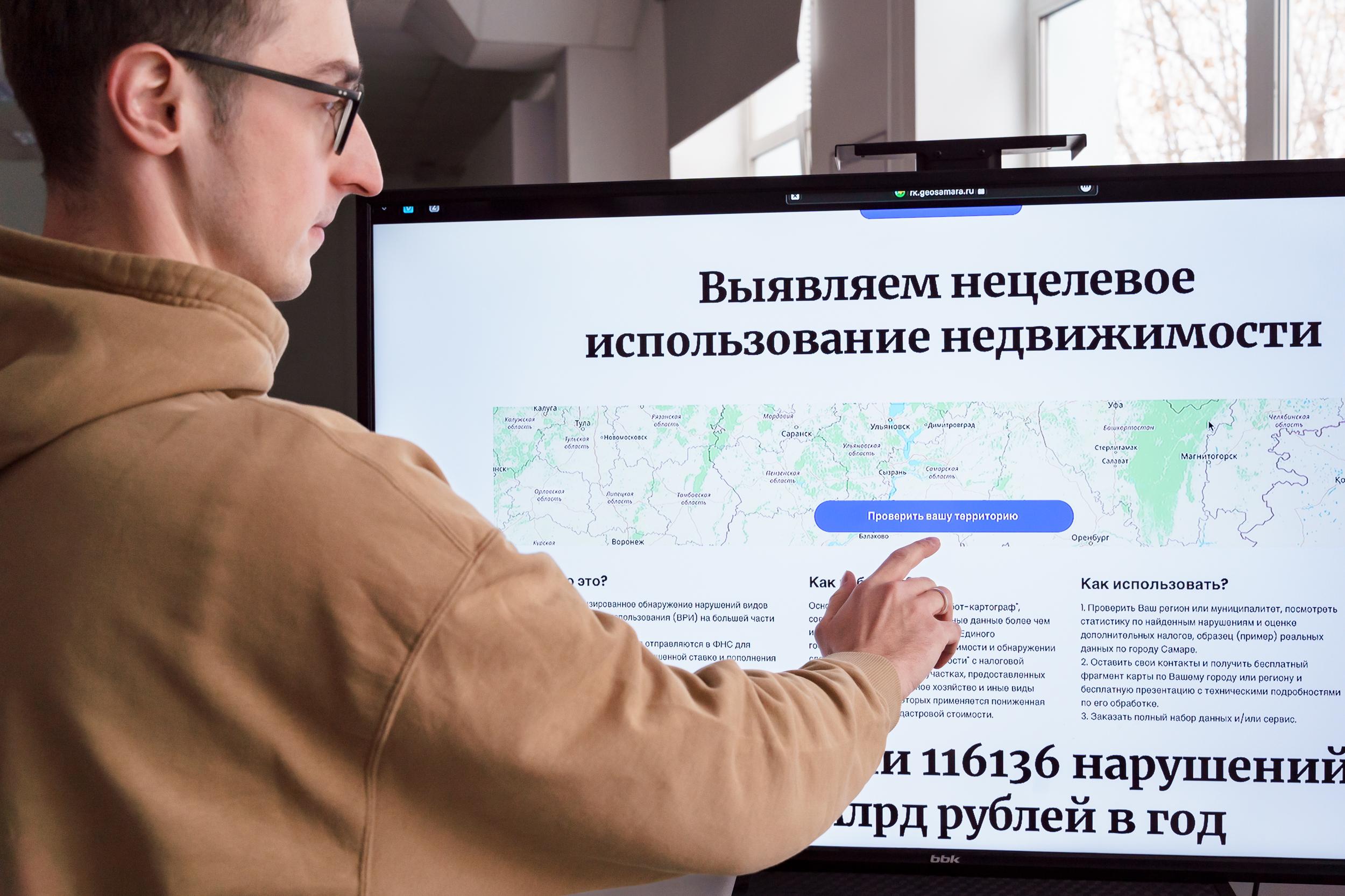
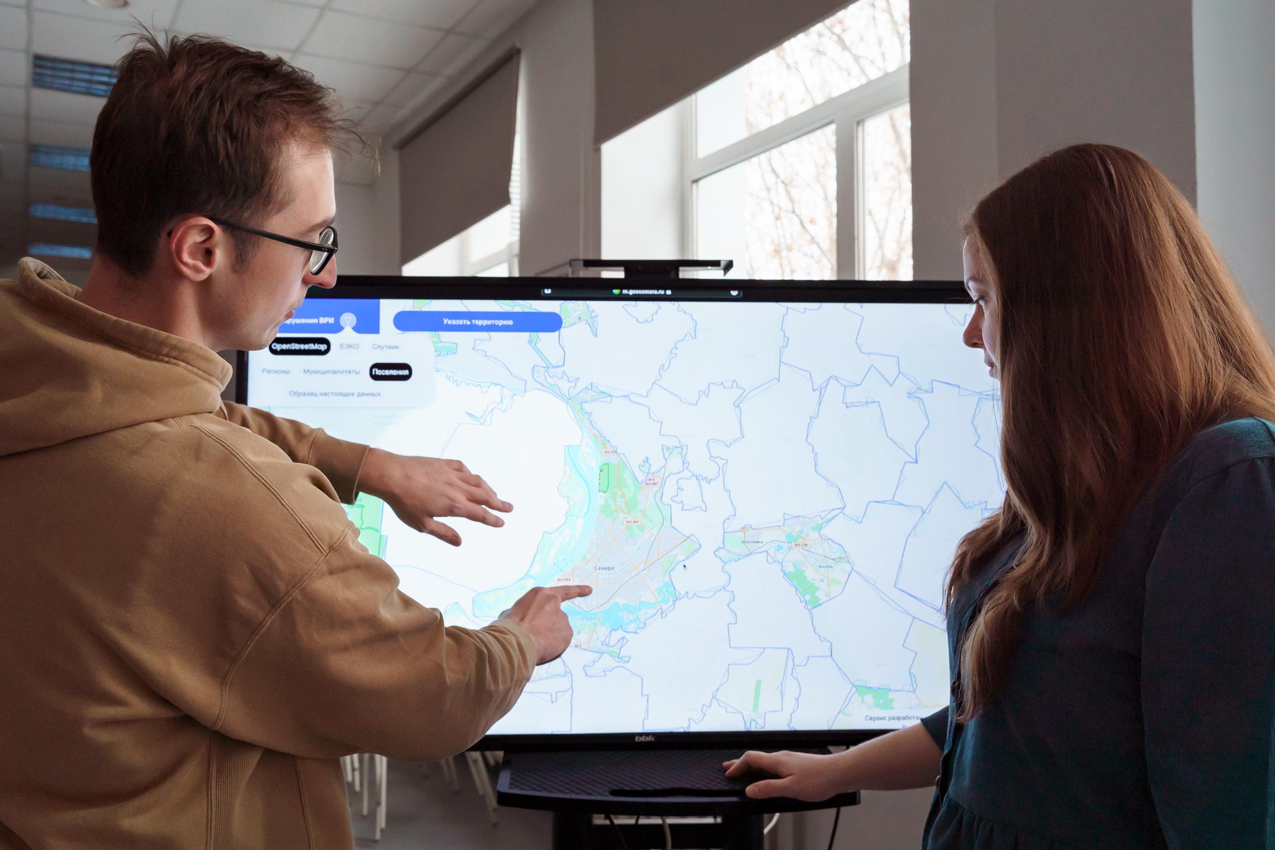
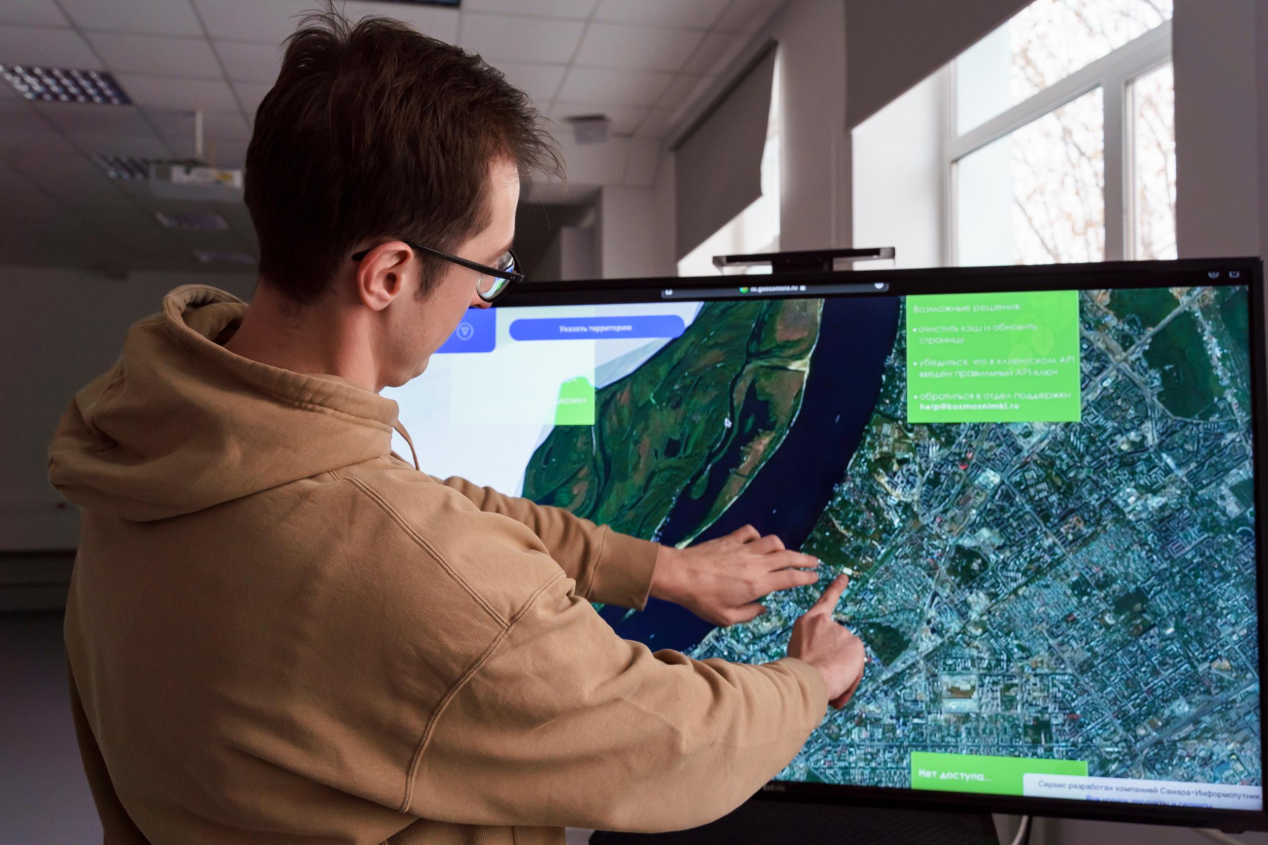
Scientists of Samara University together with the specialists of Samara-Informsputnik company developed and launched electronic Internet service that allows automatic detecting violations in the field of land legislation on the territory of a certain region or individual community.
For searching of violations electronic “land surveyor” compares and analyzes information from various sources using neural networks including data from Earth remote sensing satellites. In the first instance, the service is aimed to be used by tax authorities and also by municipal and regional authorities. The new software product has already been successfully tested in the Samara Region.
“Created service can automatically identify in the cities or regions of the country cases of possible violation of land legislation concerning the types of permitted use of a certain land plot. That is to say that, for example, some land plot in Samara previously was officially registered as private housing construction or private subsidiary plot, but in fact instead of garden or private house there is a shop or cafe, car wash, bath house or any other commercial object on this plot and this means that tax for this plot should be much higher and there are lots of such cases, unfortunately. Our development studies district, city or the entire region specified by the service user, compares data from different sources using neural networks and identifies land plots with probable violations. Data collected by the service may be automatically transferred, for example, to tax authorities to conduct audits and take appropriate measures – additional charge of taxes, imposition of penalties”, – said Andrey Chernov, Head of Geodata Department of Samara University and Samara-Informsputnik company.
According to Andrey Chernov, the service has already been tested on the territory of the Samara Region. Tests showed that accuracy of detection of real violations using Samara development is from 90 to 95%. The final decision on whether the electronic “surveyor” is right or wrong is certainly made by people – specialists of the appropriate authorities during the audit. Based on the results of testing of the service in our region additional taxes were charged and penalties were imposed in the amount of approximately 15 mln. rubles. Currently, the service is launched at the federal level and can analyze data regarding the land plots of almost all regions of Russia.
“We conducted a pilot scanning of Russian regions and this scanning revealed more than 116 thousand probable violations in the country. The program also automatically calculated the total amount which may be obtained by local budgets in case of payment of additionally charged taxes and penalties for these violations – in Russia as a whole it is more than 3.2 bln. rubles”, – remarked Andrey Chernov.
The joint development of scientists of Samara University and Samara-Informsputnik company has not yet acquired an official name, the variant NE VRI Service” is being considered as possible name. The double abbreviation (NE VRI) in this name stands for “Violation of Types of Permitted Use”.
Statistics on the revealed violations and estimation of additionally charged taxes may be viewed in demo mode for certain regions and municipalities at the service website. To obtain the data example for your city, you can contact the specialists of the company.
“Land surveyor” works on the basis of technologies of another joint “brainchild” of Samara University and Samara-Informsputnik company – “Robot-Cartographer” electronic service: it creates digital models and profiles of territories and objects using artificial intelligence and geodata combining geodata and addresses from various sources including the Unified State Register of Real Estate. “Robot-Cartographer” allows performing many tasks, including even looking a little into the future predicting on digital models various options of development of territories – cities, districts. For example, what will happen if something is built in a certain place – a shopping center or a whole microdistrict – how it will change the demand for real estate, transport accessibility, population composition and so on in the district.
In 2022, the “Robot-Cartographer” project became a prize-winner in the “Problem Analysis” nomination of the competition on application of the evidence-based approach to management decision-making, held by the Accounting Chamber of the Russian Federation. The replicated software of the project has shown its efficiency in solving tasks facing local governments. Besides, in 2022, due to the project, the Samara Region won the first prize in the 10th All-Russian Competition “PROF-IT”.
For reference:
Samara University is a participant in the National Project “Science and Universities”.
Samara-Informsputnik company is engaged in development of high-tech products in the field of information technology, production of digital cartographic products, creation and filling of geoinformation systems databases, obtaining, processing and commercial distribution of space images. The company also creates, implements and provides technical support of regional, municipal and branch Internet-geoportals, develops systems of machine vision, machine learning and artificial intelligence.
