Scientists from Samara University, together with specialists from SAMIS LLC, developed and launched the automatic neural network service for identifying and ranking abandoned and unused farmland plots. The service automatically compares land registry data and satellite images and determines, which land plots have not been engaged in agricultural activities for a long time. Besides, the development makes it possible to assess the prospects of using a particular land plot in agriculture.
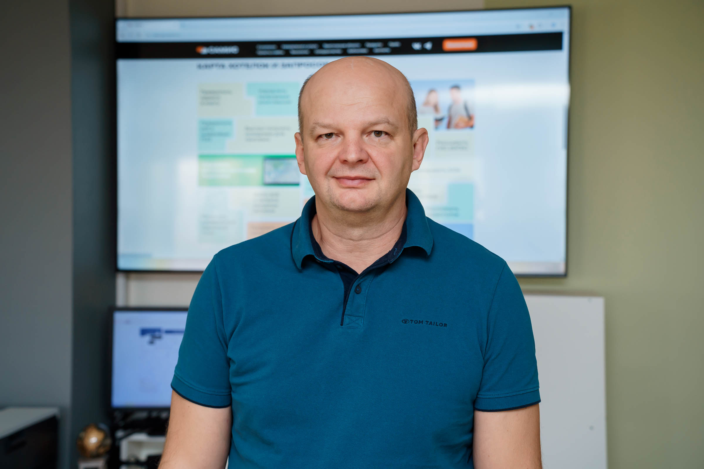
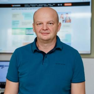
“Unfortunately, the problem of unused agricultural land remains quite urgent, although in regions, active work detecting such land plots is underway everywhere. Our service allows speeding up and automating this process. The development has already been tested in the Samara Region and is ready for applying in the country’s most regions, where the problem of unused farmland is relevant, which is about 50 regions”, said Andrey Chernov, Head of Geodata Area at Samara University and SAMIS LLC.
Samara neural service is able to detect even small land plots: the resolution of satellite images used by the service ranges from 2 to 10 m. The accuracy of detecting “abandonment” is approximately 95%. The neural service provides the collected data with preliminary conclusions to its users – the relevant authorities or, for example, tax authorities: if agricultural land is not used for its intended purpose, the land tax rate is several times more than the usual rate, therefore, applying this service allows increasing in future not only the harvest, but also tax revenues to the budget.
One of key features of this neural service is that it can determine the prospects of using a particular land plot for putting in operation and subsequent use, that is, whether it’s worth the trouble, whether this plot needs to be plowed and sown at all.
“For determining the prospects, artificial intelligence is used: it builds a special model based on the available data. The model shows whether this unaccounted field can be productive enough for some crops. A wide variety of data is taken for the model, including climatic features, soil parameters, terrain data, and how similar this field is to neighbouring fertile farmland. Many various features are taken into account. And, accordingly, it is the most promising land plots that can be offered for agricultural use at first”, noted Andrey Chernov.
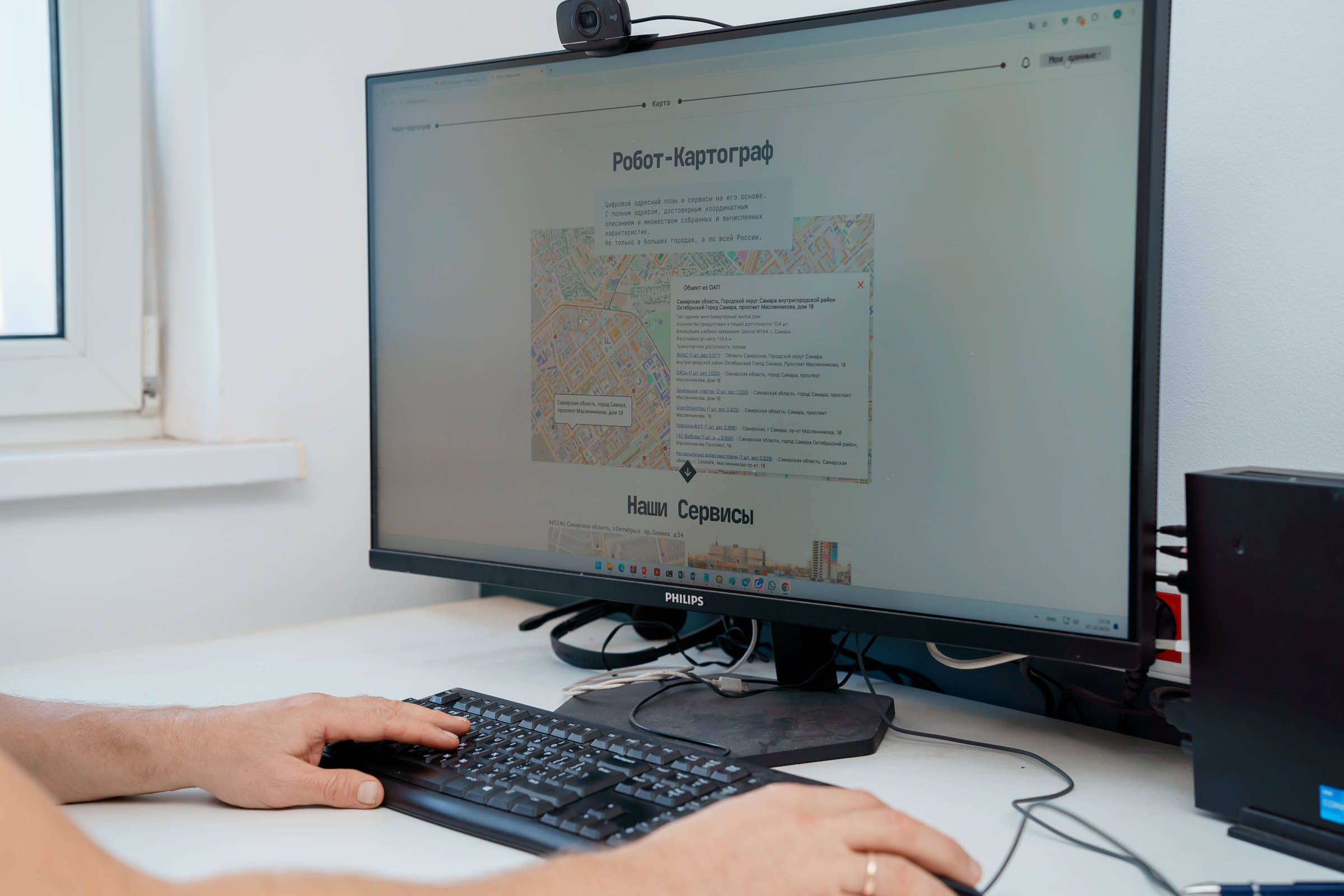
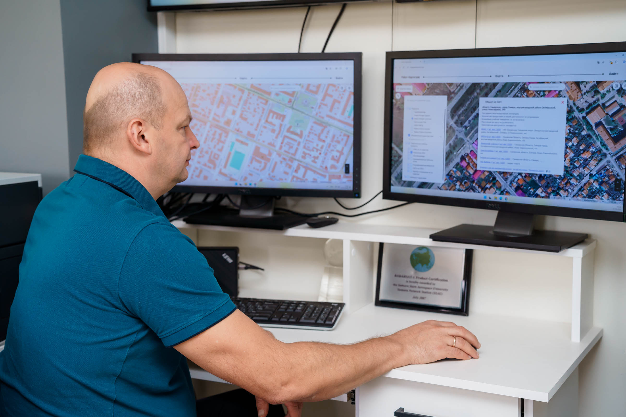
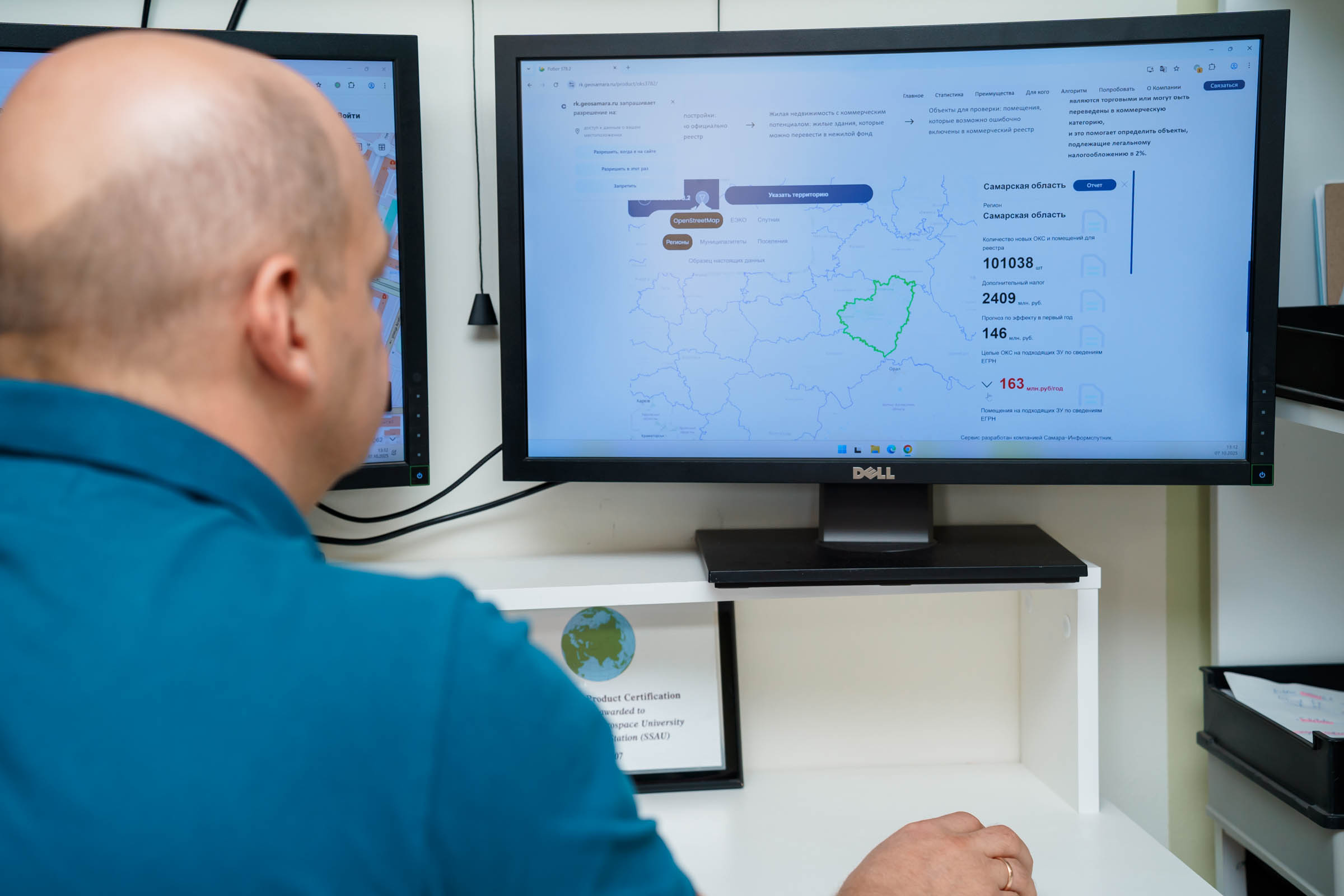
The service of detecting unused farmland works on the basis of technologies of another joint “brainchild” of Samara University and SAMIS LLC – the electronic service “Robot-Cartographer”, which creates digital profiles of territories and objects by using artificial intelligence and geodata, combining geodata and addresses from a variety of sources, including the Unified State Register of Real Estate.
In 2022, the project “Robot-Cartographer” became a prize-winner in the Nomination “Problem Analysis” of the competition on application of the evidence-based approach to management decision-making, held by the Accounting Chamber of the Russian Federation. In the same year, due to the project, the Samara Region won the first prize in the 10th All-Russian Competition “PROF-IT”.
The material is prepared with the support of Russia’s Ministry of Education and Science, in the framework of the Decade of Science and Technology.
For reference
“SAMIS” LLC is engaged in developing high-tech IT products, manufacturing digital cartographic products, creating and filling geoinformation-systems databases, obtaining, processing and commercially distributing space images. The company also creates, implements and provides technical support of regional, municipal and branch Internet-geoportals, develops systems of machine vision, machine learning and artificial intelligence.
Photo by Olesya Orina