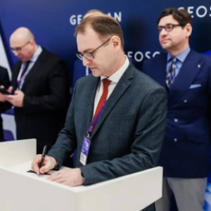
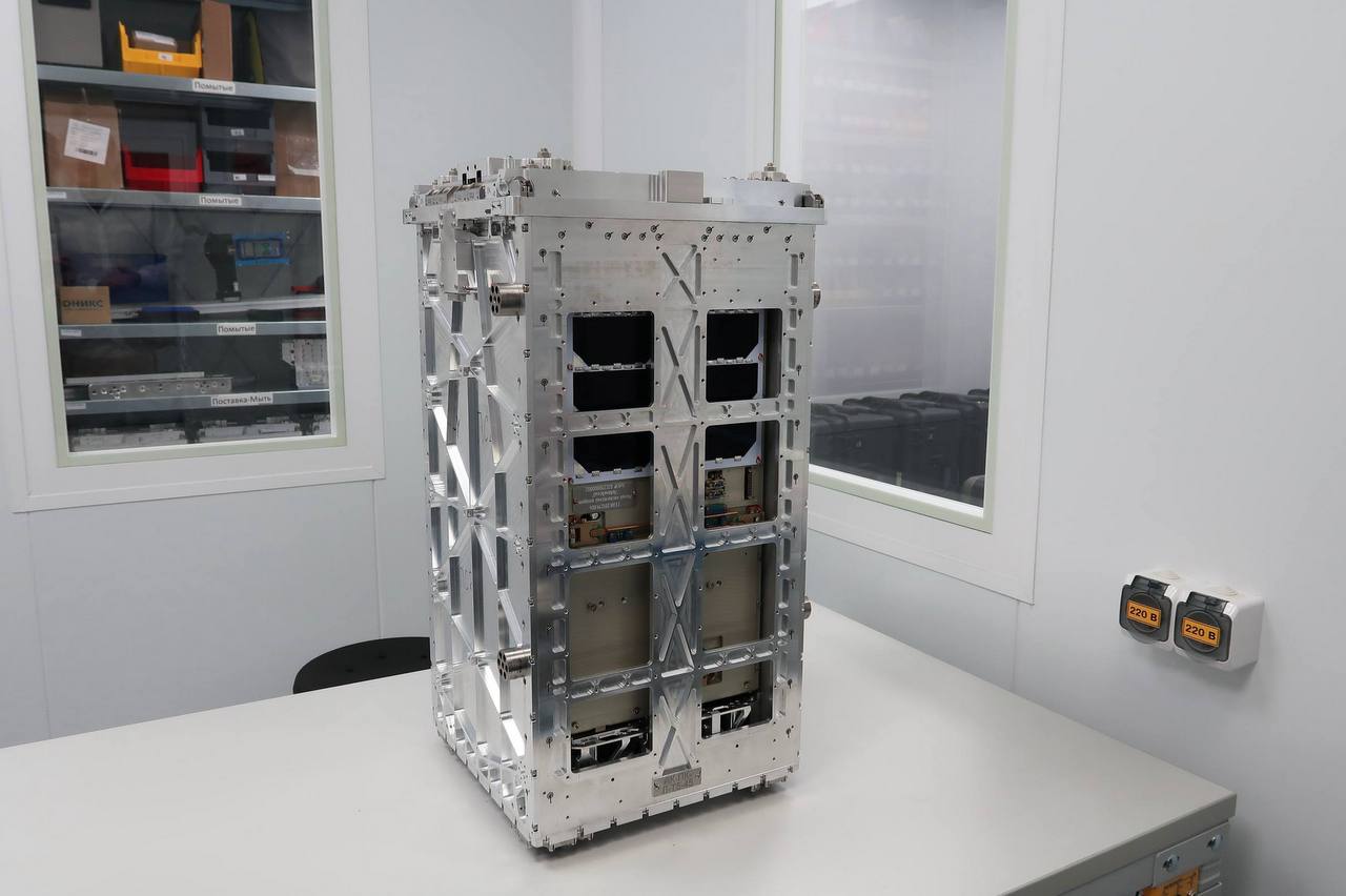
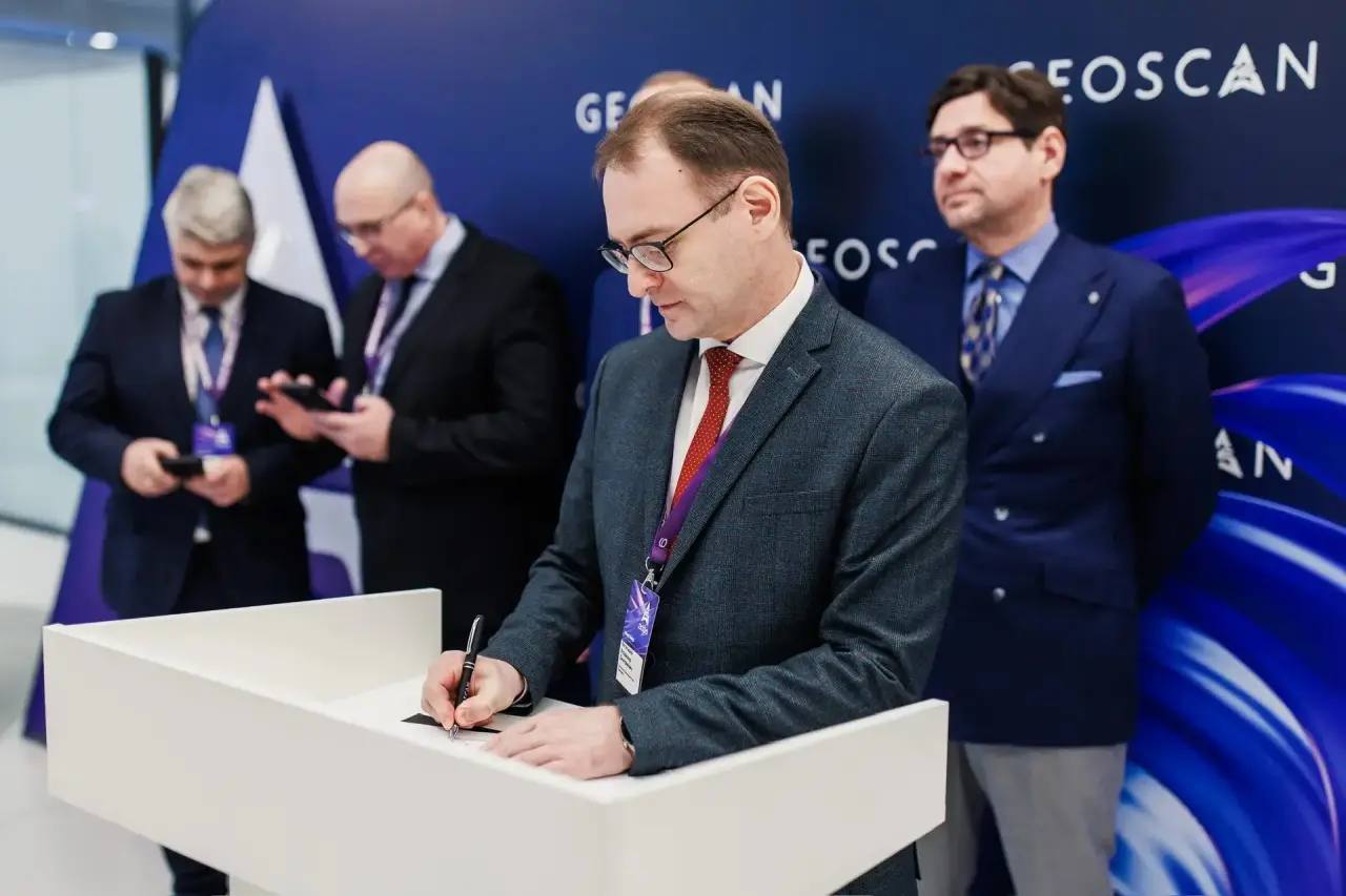
On April 23, 2026, at the “Geoscan Technologies” Conference, Samara National Research University officially joined a newly established scientific-educational consortium dedicated to space-based environmental monitoring. The alliance will implement the “Agroecology: Satellite Monitoring of Forest Cover and Agricultural Crops” experiment using the “Lobachevskiy” small satellite—a 16U CubeSat developed as part of the Space-π project by the Foundation for Assistance to Innovation.

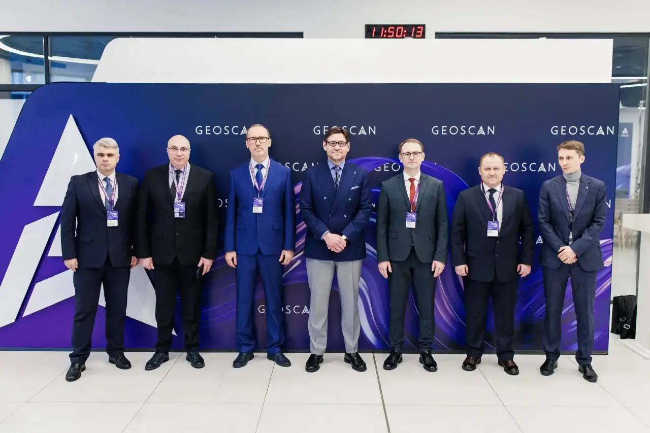

Vladimir Bogatyrev, Rector of Samara University, participated in the signing ceremony alongside representatives from:
- National Research State University of Nizhny Novgorod named after N.I. Lobachevsky
- Nizhny Novgorod State Technical University named after R.E. Alekseev
- Nizhny Novgorod State Agrotechnical University named after L. Florentiev
- Orel State Agrarian University named after N.V. Parakhin
- Kuban State Agrarian University named after I. T. Trubilin
- State University of Land Utilization
- Saint-Petersburg State Agrarian University
- and the technology company Geoscan
The project will leverage satellite spectral data from Earth observation to monitor the health of agricultural crops and forest ecosystems. The “Lobachevskiy” satellite will carry a hyperspectral short-wave infrared camera and multispectral instrumentation, enabling high-precision analysis of vegetation and soil conditions.
Consortium members will prioritize the development of advanced satellite data processing technologies, including AI-driven analytics, while simultaneously building a robust scientific and educational foundation for training specialists in remote sensing and geospatial data interpretation.
This initiative promises to significantly enhance the efficiency of monitoring natural and agricultural landscapes, expand the use of space technologies in the agro-industrial sector, and create new opportunities for interdisciplinary education. The consortium is open-ended and welcomes additional scientific and educational institutions interested in advancing Earth observation (EO) capabilities.
Alexey Yuretskiy, CEO of Geoscan:
“This consortium unites cutting-edge science and modern engineering within a single space mission. Thanks to initiatives like Space-π, small satellites have become accessible, powerful tools for applied research—from education to agroecology and natural resource monitoring. I’m confident this experiment will stand as a model of how university-industry collaboration accelerates the integration of space technologies into the real economy.”
Oleg Trofimov, Rector of Lobachevsky University:
“Our agreement brings together nine partners from across Russia—representing the Northwest, South, Central regions, and the Volga area. This geographic diversity, along with varied climatic and ecological conditions, will ensure broad, impactful research and maximize the scientific utility of the ‘Lobachevskiy’ satellite for all consortium members and their regions.”
Vladimir Bogatyrev, Rector of Samara University:
“Samara University’s entry into this consortium is far more than a formal signature. It reflects our concrete contribution: we developed the hyperspectral camera for the ‘Lobachevskiy’ satellite. Despite its compact size, this instrument can detect plant stress from orbit, calculate vegetation indices, forecast crop yields, and rapidly identify forest fires. These high-resolution, multi-channel data will form the backbone of our joint research within the consortium.”
About Geoscan
Geoscan is a Russian group of technology companies specializing in the development and production of:
- Unmanned Aerial Systems (UAS)
- Small satellites (CubeSats)
- Avionics, wireless communication systems, and sensors for UAS and CubeSats
The company also provides services in multispectral and thermal aerial surveying, airborne LiDAR, geological exploration, and develops indoor drone navigation systems for STEAM education (Science, Technology, Engineering, Arts, and Mathematics) and robotics competitions. Additionally, Geoscan creates spectacular drone light shows.
Geoscan launched its space division in 2021. On August 9, 2022, it deployed its first satellite—based on the proprietary Geoscan 3U platform—into orbit. Since then, the company has built 14 additional CubeSats (3U and two 16U models) for communication and Earth observation experiments. Geoscan’s products and services are now delivered to over 50 countries worldwide, and the company celebrates its 15th anniversary in 2026.
The Geoscan 16U Satellite Platform
The Geoscan 16U is a fully Russian-developed CubeSat platform featuring one of the most precise attitude determination and control systems (ADCS) among small satellites. Key components include:
- Star tracker
- Three-axis fiber-optic gyroscope
- GNSS receiver
- Magnetometers and sun sensors
- Reaction wheel assembly and electromagnetic coils
Geoscan implemented in software the attitude control algorithms developed by the M. V. Keldysh Institute of Applied Mathematics (RAS). This system maintains spacecraft orientation with an accuracy of 0.006°/s, meeting stringent requirements for high-quality Earth imaging.
The platform includes a 230 Wh battery, enabling continuous Earth observation and data downlink on every orbit. High-volume payload data is transmitted via an X-band transmitter at 250 Mbps, while an UHF transceiver (57.6 kbps) handles telemetry, command uplink, and onboard software updates.
Critical subsystems—attitude control, communications, and power management—are redundant, ensuring mission continuity even if one component fails. With the exception of the star tracker and fiber-optic gyroscope, all onboard systems were designed and manufactured in-house by Geoscan.
Notably, the first Russian 16U CubeSat, “InnoSat16,” was successfully launched from Vostochny Cosmodrome on July 25, 2025.
Photos provided by Geoscan