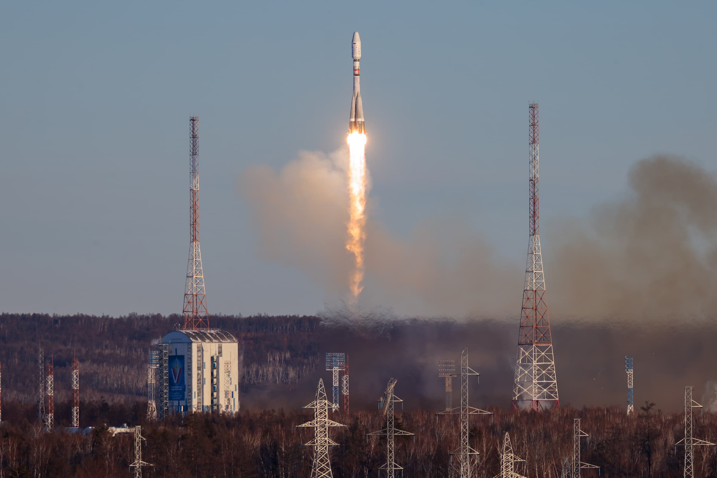
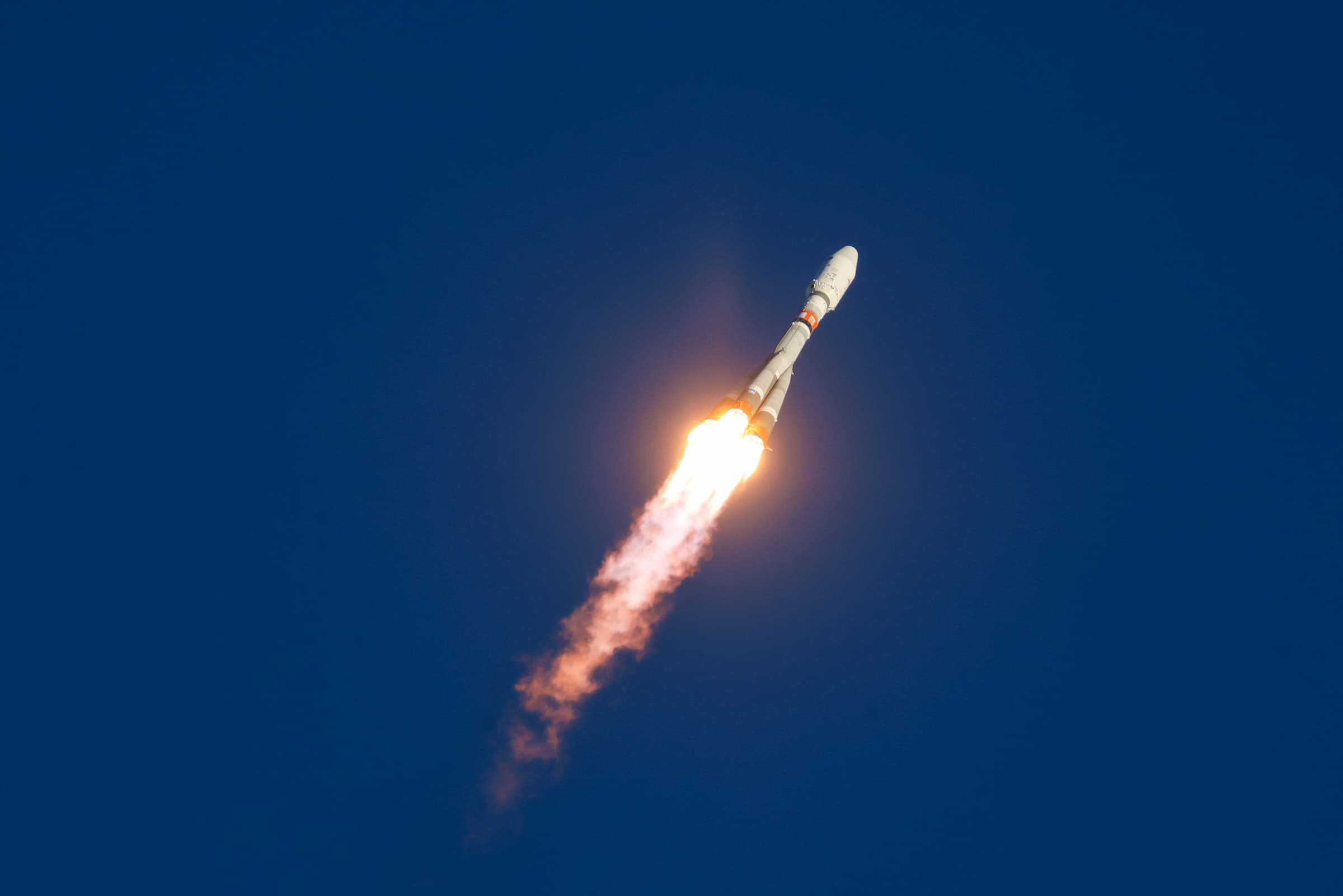
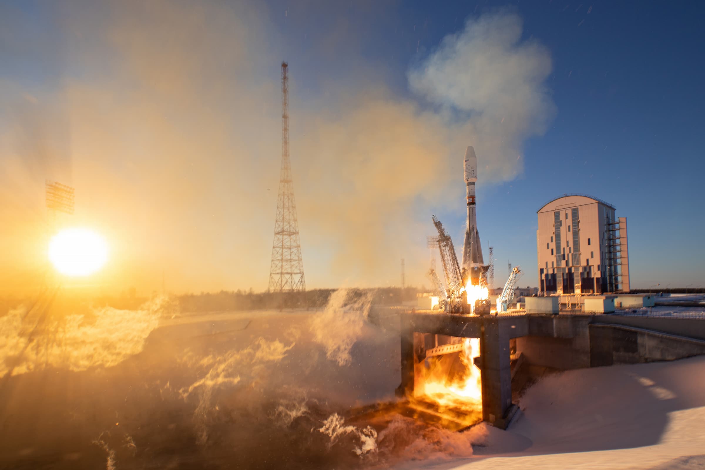
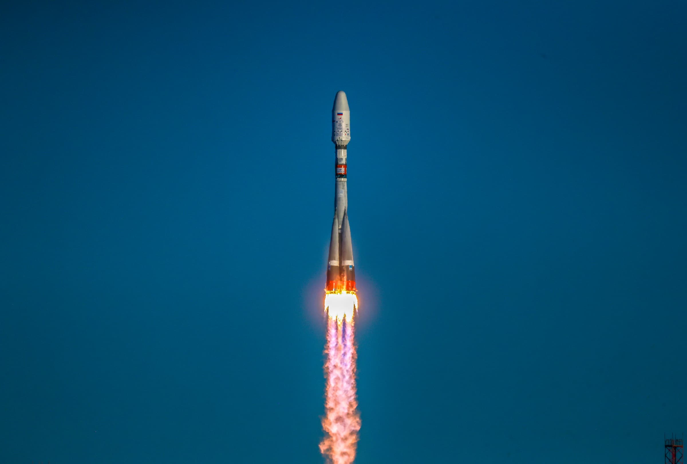
On November 5, 2024, three nanosatellites of Samara University were successfully launched into space by a Soyuz-2.1b launch vehicle with a Fregat upper stage as part of a launch campaign from the Vostochny cosmodrome. The simultaneous launch of the Ionosphere-M heliogeophysical satellites No. 1 and No. 2 and 51 spacecraft became a record in the history of Russian cosmonautics.
The record-breaking mission includes the SamSat-Ionosphere small scientific and educational spacecraft, as well as the HyperView-1G and Colibri-S nanosatellites of Samara University. All three Samara nanosatellites successfully contacted the Earth, having worked out communication sessions in the normal mode.
The SamSat-Ionosphere small spacecraft is designed to study the plasma and magnetic shells of the Earth – the ionosphere and magnetosphere. The magnetosphere, like an umbrella, protects our planet from excessive solar activity – powerful solar wind currents, harsh X-rays and other space weather phenomena unfavorable to the inhabitants of the Earth.
The activity of the Sun also strongly affects the ionosphere, changing the electronic concentration, which has a negative impact on the operation of satellite communications and navigation. Knowledge about the state of the ionosphere helps to predict and overcome interruptions in the operation of radio communication systems, improve the accuracy of positioning by satellite navigation systems and even predict earthquakes. Data on the state of the ionosphere is especially important when solving problems related to the development of the Arctic and Antarctic – in the polar and circumpolar regions, ionospheric disturbances due to solar activity are usually the most significant and greatly affect satellite navigation and communications.
The SamSat-Ionosphere space “bad weather” explorer is the second small spacecraft created on a new domestic satellite platform developed at Samara University. The first nanosatellite built on this platform, the ancestor of a new family of Samara nanosatellites, SamSat–ION, was launched in June 2023 from the Vostochny cosmodrome as part of the UniverSat-2023 program of the Roscosmos State Corporation.
"It is planned that SamSat-Ionosphere will operate in an orbit similar to SamSat-ION. Taking into account that the launch of another satellite of the same family is planned for next year, data on the geoheliophysical situation will be significantly expanded. The load on the mission control center will also increase: we will need to conduct about eight communication sessions every day, and perhaps we will introduce night shifts and shifts, attracting graduate students and undergraduates of the department," said the head of the Interuniversity Department of Space Research of Samara University, professor Igor Belokonov.
The successful work of SamSat-Ionosphere will become the basis for continuing work on creating its own grouping of scientific nanosatellites in the interests of Roshydromet (the thematic customer of the UniverSat program of the Roscosmos State Corporation). There are already plans to develop new small spacecraft designed to solve both scientific and applied tasks, for example, to monitor the ice situation in the Arctic region of Russia – the Northern Sea Route. According to Igor Belokonov, the laboratory's production facilities currently available to scientists allow the production of up to ten nanosatellites per year based on their own platform with a set of scientific equipment, which will be verified in the upcoming launches of 2024-2025.
Two small spacecraft of Samara University – HyperView-1G and Colibri-S will be engaged in tracking oil spills and predicting forest fires during their work in orbit. The project is being implemented with the support of the Innovation Promotion Fund as part of the scientific and educational project Space-Pi ("Space π") of the program "On Duty on the Planet".
"The HyperView-1G and Colibri-S nanosatellites are equipped with compact hyperspectrometers with high technical characteristics created at our University, which have no analogues in the domestic market. Both satellites, of course, are primarily designed to solve scientific and educational tasks within the framework of the Space-Pi project: on the basis of data received from orbit, Russian schoolchildren, under the guidance of scientists, will learn the basics of hyperspectral image analysis and processing. In addition, several tasks have been set to monitor oil pollution by satellites, to search for and register oil spills. Another important task is forest monitoring. Hyperspectrometers will determine the moisture level of forests – these data will help to assess the likelihood of forest fires in a particular region: the drier the forest, the higher the fire danger. It is also planned to monitor crops," said Roman Skidanov, Professor at Samara University’s Department of Engineering Cybernetics, Doctor of Physical and Mathematical Sciences.
Hyperspectrometer devices "see" the world in a multichannel spectral display and allow for more effective environmental monitoring, revealing the characteristics and properties of observed objects invisible to humans. For example, hyperspectrometers can not only detect oil spills on the ground and the surface of rivers and seas, they also allow you to analyze the composition and thickness of the oil layer, determine the type of oil and its other characteristics, this makes it possible to predict the rate of spread of oil spills, more accurately assess the environmental consequences and choose the best cleaning method.
Hyperspectrometers can also "see" data directly from space, indicating one or another "well-being" of terrestrial plants. Depending on their condition, amounts of vitamins and moisture, ambient temperature and other factors, plants differently absorb and reflect electromagnetic waves in various ranges, and spectra. Based on spectral data, scientists calculate special vegetation indices showing a variety of parameters and properties of plants: for example, you can identify areas of crops with the highest green mass, with a high amount of chlorophyll, and find out the level of moisture reserves in plants. Similar data can be obtained on the state of forests.
