
The digital “twin” of the Russian population has been developed by scientists from Samara University and the specialists of the Samara company SAMIS. The development is an electronic Internet service that unites and analyzes various current data on the population of cities, towns, districts and villages of our country by using neural networks.
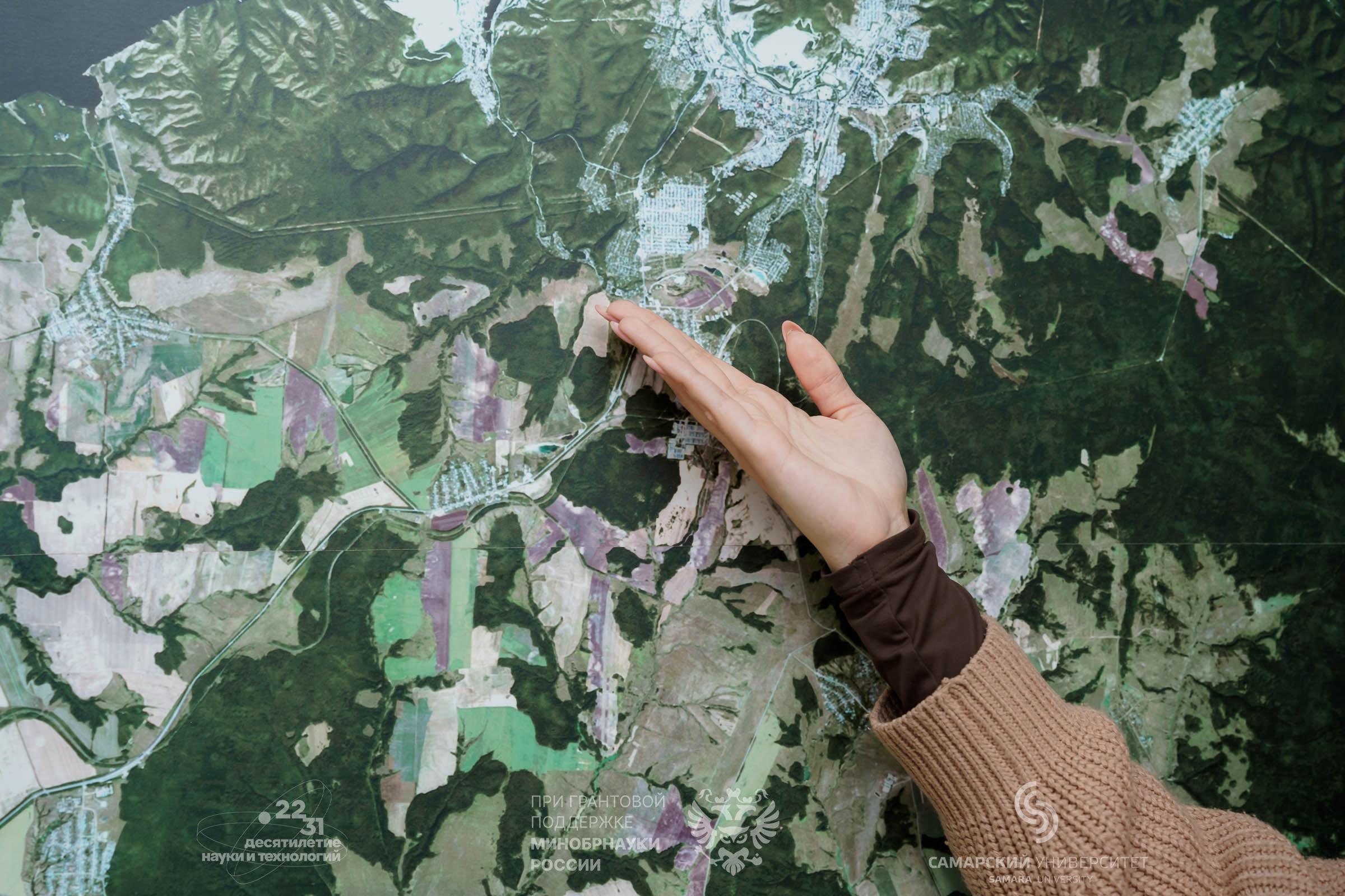
The scale of the data processed and displayed in the system ranges from information on the region as a whole to a specific individual house. This neural network service even makes possible to try to have a look into the future – to predict developing a particular locality or some part of it, depending on the ongoing or expected changes in the social, industrial or transport infrastructure, the demographic composition of its population or the economic situation.
The project was implemented in collaboration with the Competence Centre of the STI “Geodata and Geoinformation Technologies”, established on the basis of Moscow State University of Geodesy and Cartography (MIIGAiK). The Center’s activity ensure developing Russia’s technological sovereignty and economy in terms of geospatial technologies.
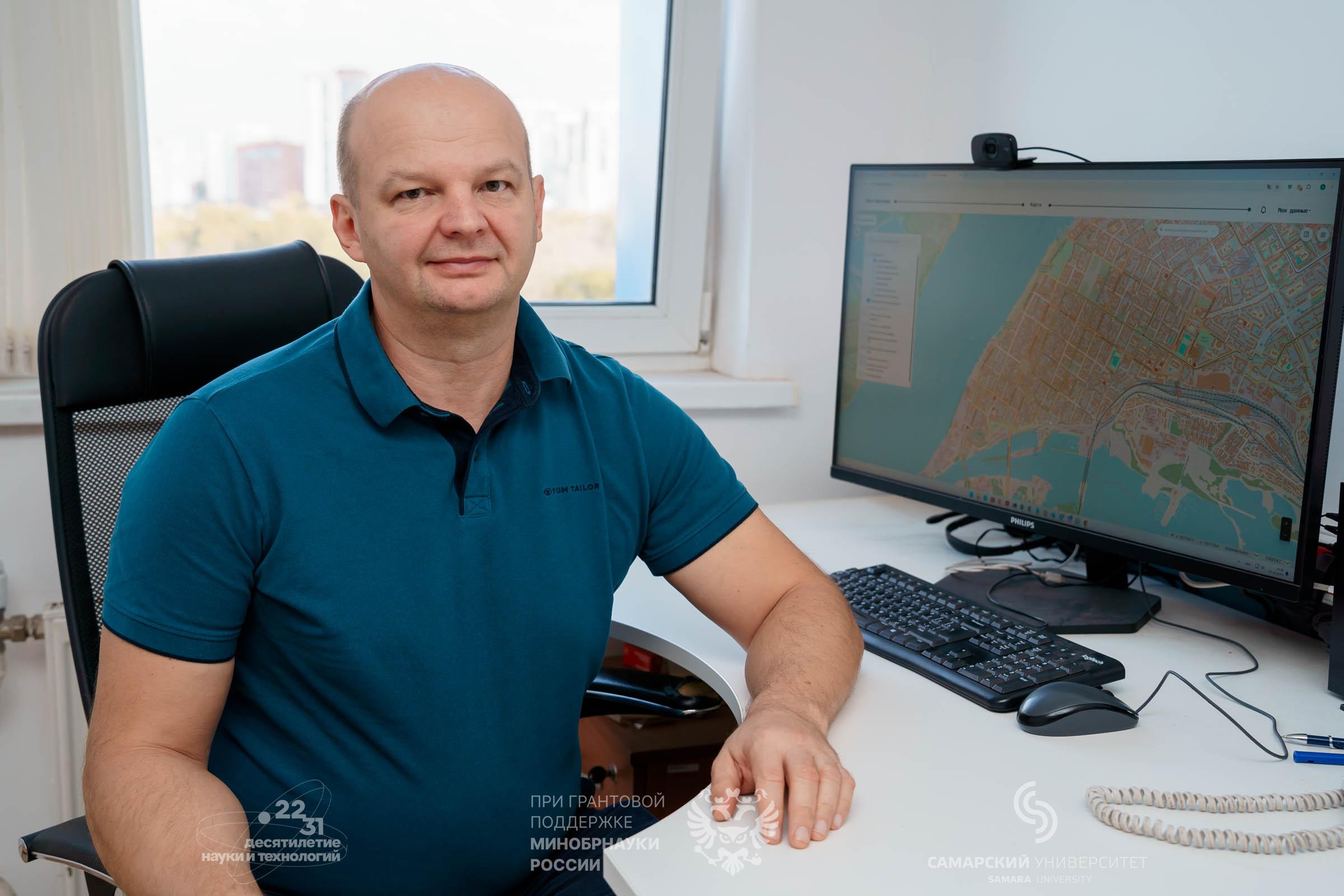
“A few years ago, we developed a digital “twin” model that processed data from cities with the population exceeding 100,000 people. At present, for the first time, a digital model that covers both large settlements and very small ones, for example, towns and villages where only a few dozen people can live, has been prepared. The database of the service created on the basis of this model includes almost all settlements in 85 regions of our country. Unlike other existing digital models, which are usually linked to districts or city blocks and provide average data, our development models life in much greater detail – within the boundaries of specific individual buildings, which provides new opportunities for detailed analysis and more accurate management decisions on the territory development”, said Andrey Chernov, Head of the Geodata Area at Samara University and the SAMIS company.
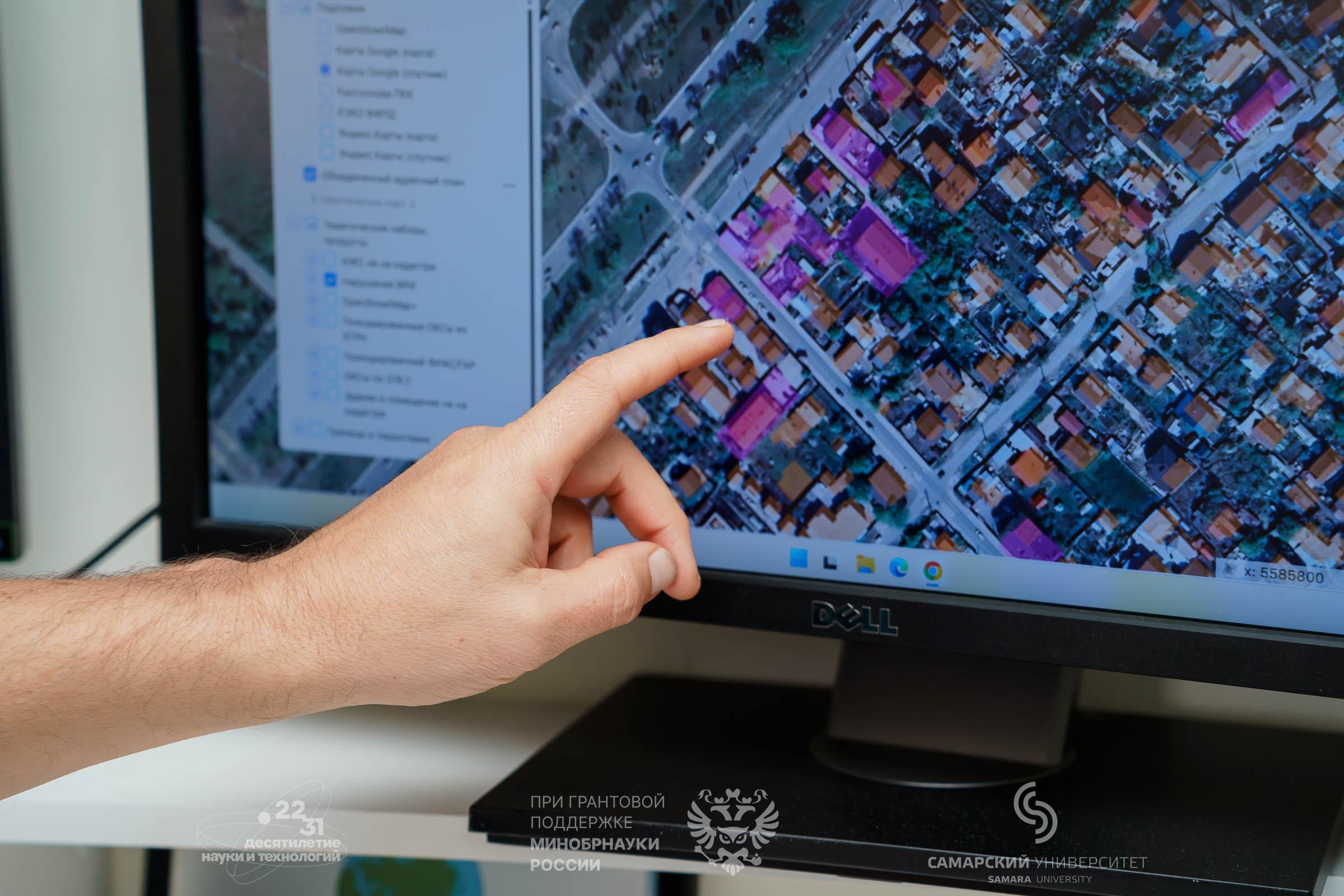
The created system processes information from various official sources and databases. The number of apartments, the number of residents in those buildings, for which information is available, as well as many dozens of types of building data are taken into account: these are, for example, its technical condition, year of construction, number of floors, average cost per square meter in apartments, etc. Neural network technologies determine the type of building – residential, public, industrial, office – and build a dependence model for residential buildings, based on their size, the age and the gender of their population. All the data, of course, is anonymized and not linked to specific residents.
“Digital “twin” technologies allow us to have a look a little into the future: using our calculations, it is possible to predict the development options of a particular territory for about five years ahead. By uploading the necessary data, we can get a forecast of how, for example, the construction of a new neighborhood or an industrial enterprise will affect the city’s life. The system will show how the population size and composition may change in the coming years, what changes will need to be made to the transport infrastructure and where exactly a new school, a kindergarten, and a polyclinic will need to be built. The service will assist regional and municipal planners, urban planning experts, social policy department specialists, as well as businessmen, for example, to understand how much demand in a new store or a regular order pick-up point will be in this area”, noted Andrey Chernov.
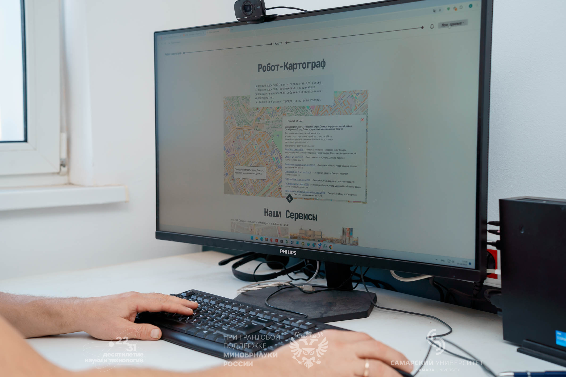
The digital “twin” of the population works on the basis of technologies of another joint “brainchild” of Samara University and the SAMIS company – the electronic service “Robot-Cartographer”, which creates digital profiles of territories and objects by using artificial intelligence and geodata, combining geodata and addresses from a variety of sources, including the Unified State Register of Real Estate.
In 2022, the project “Robot-Cartographer” became a prize-winner in the Nomination “Problem Analysis” of the competition on application of the evidence-based approach to management decision-making, held by the Accounting Chamber of the Russian Federation. In the same year, due to the project, the Samara Region won the first prize in the 10th All-Russian Competition “PROF-IT”.
The material is prepared with the support of Russia’s Ministry of Education and Science, in the framework of the Decade of Science and Technology.
For reference:
The SAMIS company is engaged in developing high-tech IT products, manufacturing digital cartographic products, creating and filling geoinformation-systems databases, obtaining, processing and commercially distributing space images. The company also creates, implements and provides technical support of regional, municipal and branch Internet-geoportals, develops systems of machine vision, machine learning and artificial intelligence.
Photo by: Olesya Orina